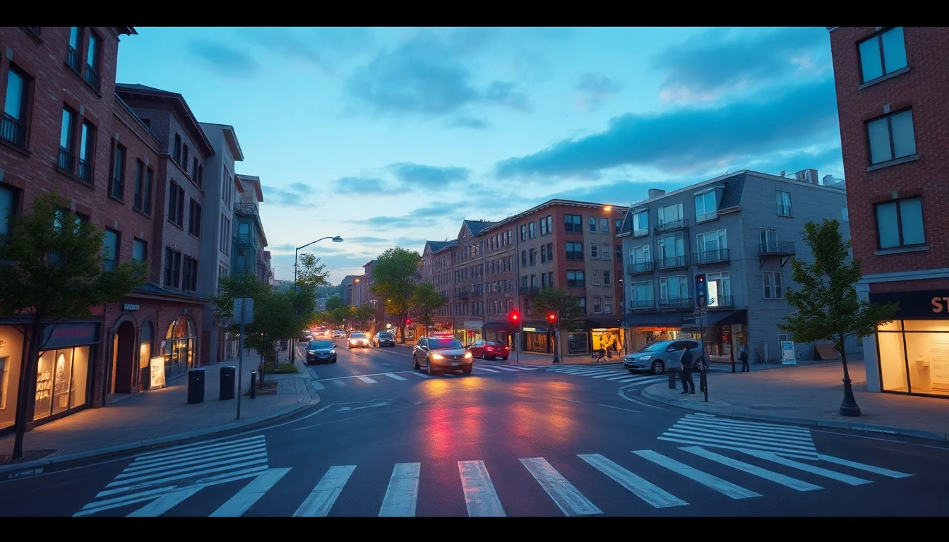
Google DeepMind is moving Genie 3 closer to a practical simulation layer for robotics and agent testing by tying it to Street View. The change matters because it shifts world-model demos from generic, synthetic environments toward street-anchored scenes that resemble places developers actually deploy into. According to TechCrunch, the new integration can generate interactive simulations of real streets with adjustable weather, seasonal variation, and viewpoints for humans or robots.
That sounds incremental on paper, but technically it changes the kind of test data teams can produce. A world model that can inherit the spatial structure of a real street and then vary conditions around it gives engineers a way to probe behavior against a more grounded geometry than a fully invented scene. For robotics, that is especially relevant: curb cuts, road widths, lane markings, building facades, and sightlines all affect perception and planning. For AI agents that interact with urban environments, anchoring to a real location also gives evaluation a stable reference point instead of a purely synthetic benchmark.
DeepMind’s framing suggests Genie is being used less as a novelty generator and more as an environment engine. By plugging Street View-scapes into the generation loop, the model can simulate how the same street might look under rain, snow, sunlight, or different seasons, while also offering alternative viewpoints. That matters for both model development and debugging. A perception stack can be exercised from a robot’s eye level, a pedestrian perspective, or another camera path, which makes it easier to isolate whether a failure comes from view synthesis, spatial consistency, or downstream policy logic.
The training implications are straightforward, even if the engineering is not. Street-anchored simulations create a repeatable testbed that can be replayed at scale, which is useful for curriculum design, regression testing, and edge-case coverage. A team can keep the underlying street constant while perturbing conditions to see how a navigation policy or perception model responds. That reduces some of the randomness in field testing and gives developers a controlled way to generate rare scenarios that are expensive or unsafe to recreate on real roads.
But the move also exposes the limitations of synthetic realism. Street View-derived environments may carry the biases and blind spots of the source imagery itself: uneven geographic coverage, inconsistent capture dates, and a bias toward public, accessible roads over the messy conditions robots actually face. Sensor realism is another constraint. A simulated street can look convincing to a human viewer while still diverging from what a lidar stack, depth camera, or multi-sensor fusion system would experience in the field. For teams using Genie as part of a validation pipeline, that means transfer-to-reality metrics will matter more than visual fidelity alone.
A concrete deployment example makes the tradeoff clearer. DeepMind’s Jack Parker-Holder pointed to a robot being deployed in London, “which rarely sees the sun,” as the kind of scenario where the integration could help. London is a useful stress case because it combines dense urban clutter, variable light, rain, narrow streets, buses, pedestrians, and complex curbside interactions. A Street View-anchored simulation of a London block could let teams test how a robot behaves when a road changes from overcast to wet, or when visibility shifts from morning to dusk, before sending hardware into that environment. That is not a substitute for field validation, but it can front-load some of the iteration.
The rollout path for this kind of tooling is likely to run through workflows, not just demos. If Genie becomes part of a robotics or autonomy stack, it will have to connect to logging, scenario generation, policy evaluation, and human review. Teams will want to inject specific I/O events, replay failures, and compare model behavior across versions. In other words, the value is not just in generating a pretty simulation; it is in making the simulation legible to a test harness. That is where the platform opportunity sits, and where vendor dependence can emerge if the environment generator becomes tightly coupled to a single cloud or model provider.
The governance questions arrive quickly once street-level data becomes part of the simulation substrate. Street View is already a privacy-sensitive dataset, and using it to create interactive environments raises familiar but sharper concerns about how imagery is transformed, retained, and audited. If developers can generate realistic street scenes from real locations, they need clear policies on access control, retention, provenance, and whether any personally identifiable details are preserved or reconstituted in the output. For enterprise users, the relevant issue is not just whether the model is powerful, but whether it leaves an audit trail that compliance teams can inspect.
Safety monitoring also becomes more important when simulation is used as a precursor to deployment. A system that performs well in synthetic street tests can still fail in the field if the model has learned shortcuts that do not survive distribution shift. That means guardrails should include versioned scenario sets, explicit pass-fail thresholds, and post-simulation review for any policy that will be used near pedestrians or vehicles. The more a team relies on generated environments, the more it needs to document how those environments were created and how closely they map to operational reality.
Market-wise, this is another signal that the AI tooling stack is converging with robotics infrastructure. A world model that can simulate real streets is not just a model capability; it is a simulation primitive that could sit between mapping, testing, and deployment. That makes it attractive to robotics teams, autonomy vendors, and platform providers that want to own the synthetic environment layer. The flip side is that whoever controls the environment generator may also control the validation workflow, the evaluation data, and parts of the deployment pipeline.
For now, Genie’s Street View integration looks less like a finished product than a sharper instrument. It compresses some of the path from testing to deployment by making urban scenarios easier to synthesize and repeat, but it does not erase the need for field trials, sensor calibration, or governance. The important shift is that the model is moving closer to the conditions where robots and agents actually operate. That makes it more useful—and more accountable.