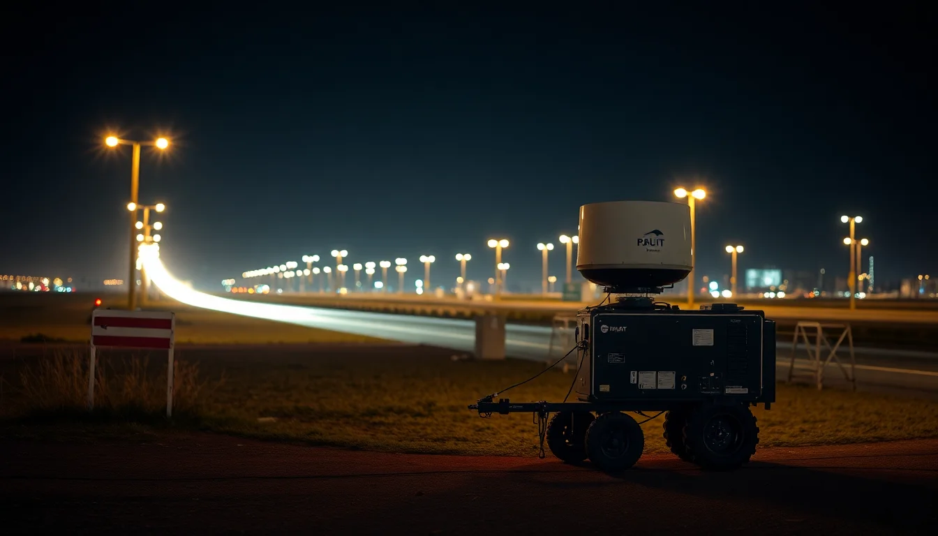
The shift in weather intelligence is here
For years, operational weather awareness in critical sectors has been constrained by a simple mismatch: the atmosphere changes faster than the infrastructure used to observe it. Fixed radar networks remain foundational, but they are not designed to follow a construction crew into a remote corridor, stage with an emergency response team in rough terrain, or cover a temporary industrial site where localized convection can emerge in minutes.
That is why portable, rapid-deployment X-band radar is drawing attention now. The appeal is not just that it moves. It is that it can deliver on-site, high-resolution weather data with very low delay, closing the blind spots that fixed systems leave behind. In the environments where timing matters most, near-immediate local sensing changes the decision surface: teams can identify threats earlier, route people and equipment away from risk, and move from reactive safety calls to preemptive ones.
The important shift is not merely operational. It is architectural. Portable radar is turning weather intelligence into something closer to an edge data product: locally captured, quickly processed, and immediately available to downstream systems that support safety decisions.
How it fits with AI tooling
X-band radar matters because of what it can see. Operating at higher frequency than larger weather radar systems, it is better suited to detecting smaller-scale storm structures and localized atmospheric changes that can be lost in broader network coverage. That makes it especially relevant for fast-evolving hazards where the difference between a routine condition and a severe one may be measured in minutes and in a few kilometers of space.
For AI teams, the raw sensing advantage only becomes useful if the full pipeline is engineered correctly. The deployment model usually needs three layers:
- Capture at the edge. The radar collects local returns where the risk is unfolding, not at a distant aggregation point.
- Low-latency processing. Basic filtering, quality checks, and feature extraction need to happen close to the sensor so the system can support near-real-time decisions.
- AI-ready fusion. Radar outputs must be aligned with other operational signals — site maps, asset locations, crew status, and perhaps other environmental sensors — before models can estimate threat severity or recommend action.
That integration layer is where the product opportunity sits. A model that can ingest radar sweeps every few seconds is not enough on its own. Product teams need to define latency budgets end to end: sensor acquisition, edge processing, transmission, inference, and user presentation. In a safety-critical workflow, a “real-time” interface that delivers an alert after the operational window has closed is not real-time at all.
This is why decision-support design matters as much as sensing performance. The interface cannot just show a weather map. It has to translate incoming radar features into actionable state: storm growth, likely direction, confidence level, and suggested operational response. For technical buyers, the question is whether the system can support decisions at the pace field operations actually move.
Product rollout and market positioning
Rapid deployment is not just a technical feature; it is a procurement and rollout advantage. Fixed radar installations require site planning, long lead times, and a coverage area that may or may not align with the exact operating footprint. Portable systems are more attractive when organizations need coverage for a project duration, an incident response window, or a seasonal risk period.
That changes the market shape in a few ways.
First, deployment speed becomes part of the product promise. If a unit can be staged quickly and produce useful data soon after arrival, it becomes viable for temporary or mobile operations that traditional infrastructure cannot serve efficiently.
Second, interoperability becomes a differentiator. Critical sectors rarely run a weather stack in isolation. They already have dispatch systems, safety platforms, asset management tools, and communications layers. If radar outputs cannot be mapped cleanly into those systems, adoption will stall regardless of sensing quality. Standards-based interfaces and well-documented data schemas will matter more than marketing claims.
Third, the buyer profile is broadening. Construction, emergency response, utilities, transport, and industrial operations all have different tolerance levels for risk, latency, and system complexity. Vendors that can support multiple workflows without forcing every customer into a custom integration project will have an easier path to repeatable rollout.
The commercial implication is straightforward: the winner is unlikely to be the system with the most dramatic demo. It will be the one that can plug into existing operational software with minimal friction and produce consistent, auditable outputs in the field.
Risks, governance, and trust in AI-augmented weather data
The more directly a radar feed influences live decisions, the more governance matters. That starts with calibration and data quality. Portable systems operate in changing physical environments, and the value of their output depends on stable alignment, reliable maintenance, and transparent handling of noisy returns.
There is also a model risk layer. If an AI system is trained on historical weather patterns but deployed into a new terrain, a new season, or a different sensor configuration, drift can appear quickly. For that reason, validation cannot be a one-time launch exercise. It has to be continuous monitoring against actual field conditions, with thresholds for confidence degradation and escalation paths when the model is uncertain.
Explainability is not an academic concern here. Operators need to know why a system is flagging a threat, especially when the recommendation could trigger shutdowns, evacuations, or route changes. If the radar-driven model says conditions are deteriorating, teams need enough signal provenance to trust the call or challenge it.
Data governance also extends to operational context. Field intelligence often includes sensitive location data, crew movement, and asset information. Once weather sensing is fused with those other inputs, access controls and retention policies become part of the system design, not an afterthought.
What to watch next
The next phase will be defined less by whether portable X-band radar can work and more by how cleanly it integrates into AI-enabled operations.
Watch for three signals:
- Pilot deployments in field-heavy sectors. Construction, emergency management, and utilities are the clearest proving grounds because the operational cost of weather surprise is immediate.
- Product momentum around edge processing. Systems that can preprocess radar data locally and push only the relevant features upstream will fit operational latency budgets better than cloud-only stacks.
- Progress on data standards. The easier it becomes to share radar outputs across weather platforms, dispatch tools, and analytics systems, the faster these deployments can move from bespoke pilots to repeatable infrastructure.
For AI product teams, the opportunity is not to build another weather dashboard. It is to treat rapid-deployment radar as a high-value edge signal that can feed operational models, tighten latency budgets, and improve the quality of automated or semi-automated safety decisions. The technology’s strategic value will come from whether it can be integrated cleanly enough to become part of the normal field workflow — not just a specialized tool for exceptional storms.